Components Of GIs
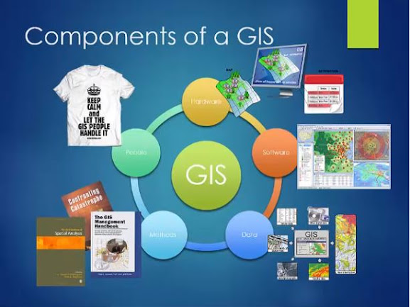
A GIS is a computer-based information system for collection management manipulation analysis presentation and dissemination of geo spatially referenced data a working GIS integrates five key components in order to accomplish This.
In this Lecture we will discuss the components of a GIS. here we Will see the system of the GIS hardware software data people and methods work together in a system to disseminate information about areas of the earth let's look at each part of the system in more detail
Hardware:
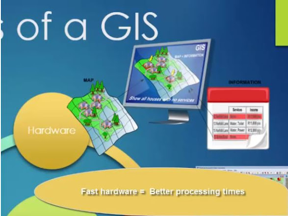
Hardware refers to the computer platform and peripherals associated with the GIS this can include a computer either a laptop or desktop. Sometimes multiple computers a scanner and digitizer and a plotter Hardware can also refer to servers either physically at your office or in the cloud in the case of Hardware size and speed matter GIS systems are very large and complex so the faster and larger your computer is the better it will be able to respond when you're performing complex queries.
Software:
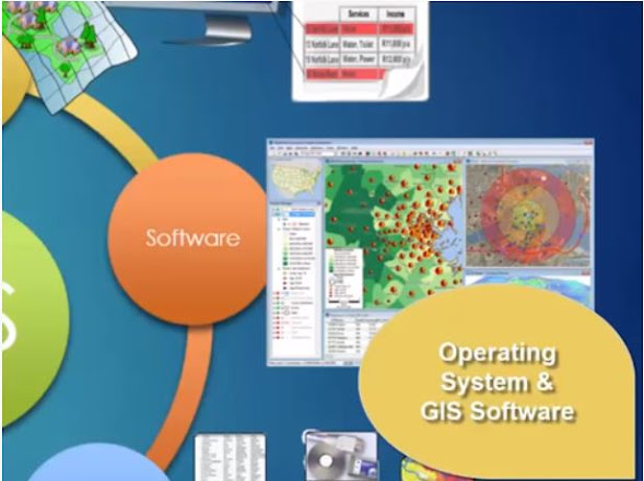
Software includes your operating system GIS software of choice ArcGIS for desktop is what we use in this course but there are other options as well some are even free.
Data:
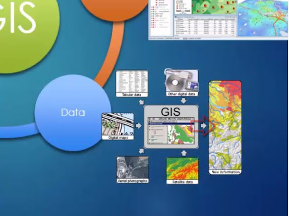
The next component of GIS is Data your work is only as good as your data no your source no your data and no the spatial characteristics GIS data can come from multiple sources satellite data aerial photography digital maps tabular data and other digital data all work together in a GIS to create new and formation. And to form your picture of the world.
Methods:
Methods are defined as the plan and business rules models and procedures which are unique to each organization they can include things such as analysis as in how specific analysis is performed including what steps are followed and in which order those steps are performed analysis may be automated or manual or may be a combination of both it can include how your data is captured how often and at what precision and accuracy levels this can also include templates or requirements that are specific to an organization for each map such as logos are they required what sort of data attribution is required how and where is the legend on each map all of this may be defined specifically by your organization.
People:
The last and most important component of GIS is People are defined as the characteristics and capability of the people responsible for designing and implementing and using the GIS in fact people you are the most important component of the GIS.
Why is that well the proper use of the GIS depends on people structuring the research questions performing the analysis and judging whether the information extracted from the GIS is a value in general you matter in a GIS you think about the hardware and software the decisions on the hardware and software are made by people the decisions about data are made by people people are critical and crucial components of GIS putting it all together people methods and procedures data hardware and software all work together to create a very powerful tool.

